FLASH FLOOD WATCH REMAINS IN EFFECT FROM THIS EVENING THROUGH TUESDAY AFTERNOON
The Flash Flood Watch continues for:
Portions of central New Jersey...northern New Jersey...northwest New Jersey...and southern New Jersey...including the following areas...in central New Jersey...Eastern Monmouth, Mercer, and Western Monmouth.
In northern New Jersey...Middlesex, Morris, Somerset, Sussex, and Warren.
In northwest New Jersey...Hunterdon.
In southern New Jersey...Coastal Ocean, Northwestern Burlington, Ocean, and Southeastern Burlington.
From this evening through Tuesday afternoon.
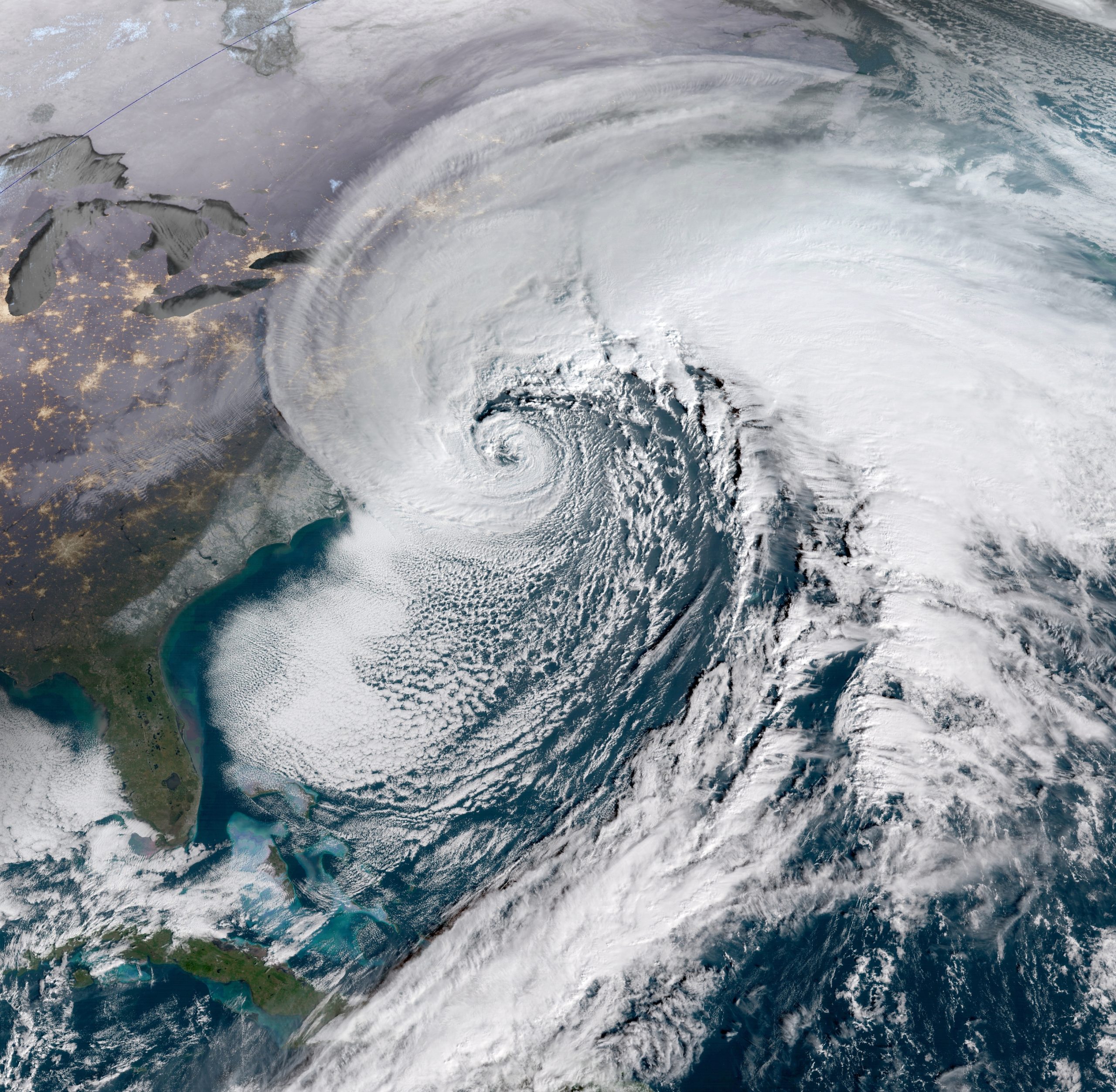
According to the weather service, minor coastal flooding is likely along the coast and around the Delaware Bay on Tuesday and Wednesday due to high tides.
Severe thunderstorms with severe winds capable of bringing down trees and power lines are possible tonight. Along the Jersey Shore, winds of up to 45 mph are possible.
More rain and stronger winds could travel inland if the storm moves closer to the coast, but the storm will have less impact if it stays further off the coast.
Rain, heavy at times, is expected beginning this evening and continuing through much, if not all of the day on Tuesday. Widespread rain totals of 2 to 3.5 inches are likely within the watch area, with locally higher amounts possible.
Flash flooding of creeks, streams, urban areas, and areas of poor drainage is possible with the heaviest rain.
Click to Track the Radar, Power Outages and See WEATHER In Our Area.


