
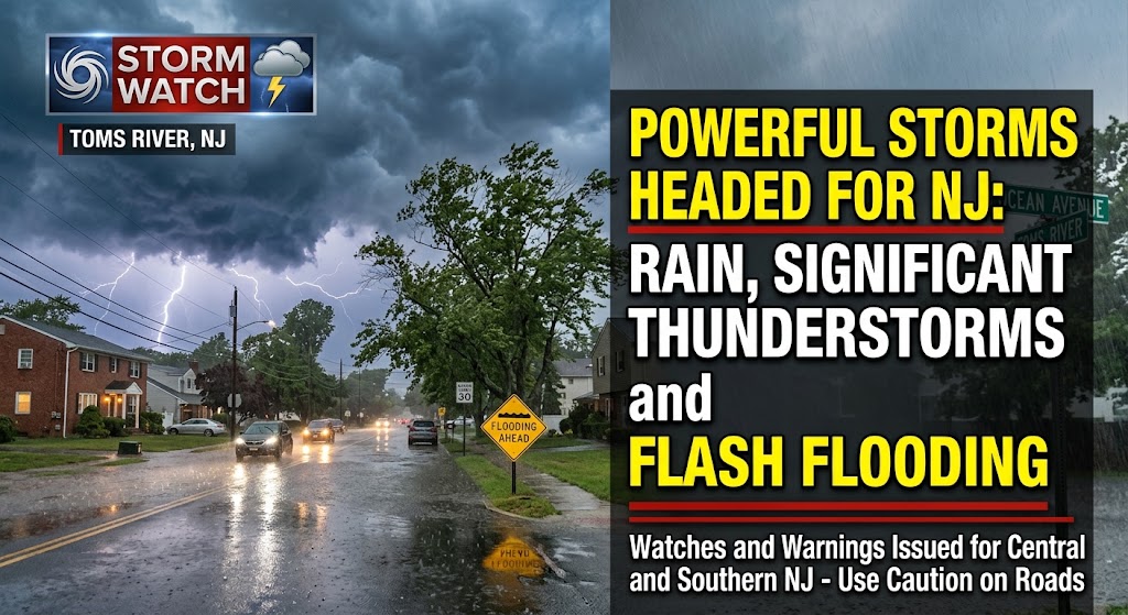
Powerful Storms Headed for NJ: Rain, Significant Thunderstorms and Flash Flooding

Storms on the Way? Rain Threatens New Jersey Later This Week
August 18, 2026
23 Year-Old Motorcyclist Seriously Injured After Being Ejected in Ocean County Crash
August 19, 2026Powerful Storms Headed for NJ: Rain, Significant Thunderstorms and Flash Flooding

New Jersey is bracing for a stormy Thursday as a strong cold front moves through the region, bringing widespread showers and thunderstorms, heavy rain and the potential for flash flooding.
The National Weather Service in Mount Holly said multiple rounds of showers and thunderstorms are expected Thursday, with the most significant activity possible during the afternoon and evening. Forecasters are warning that some storms could become severe, particularly across southern New Jersey.
Flash Flooding a Major Concern
Heavy rainfall may be the biggest concern. The National Weather Service said a very moisture-rich air mass will move into the region, allowing thunderstorms to produce extremely heavy rainfall over short periods.
Rainfall totals of 1 to 2 inches are generally expected, with localized amounts of 3 to 5 inches possible. Some storms could produce rainfall rates of 2 to 3 inches or more per hour, creating the potential for rapid flooding, especially in areas that receive repeated thunderstorms.
A Flash Flood Watch is in effect for portions of New Jersey from noon Thursday through 2 a.m. Friday, according to the National Weather Service.
Severe Storms Possible
In addition to flooding, some thunderstorms could produce damaging wind gusts, frequent lightning and isolated large hail. Forecasters also said an isolated tornado cannot be ruled out, with the greatest potential currently focused from the Delmarva into southern New Jersey.
The National Weather Service has placed portions of southern New Jersey in a Slight Risk for severe weather, with a Marginal Risk covering other areas.
Drivers should use extra caution Thursday, particularly during the afternoon and evening commute. Heavy rain can quickly reduce visibility and create dangerous roadway flooding.
Residents are urged to monitor changing weather conditions, keep an eye on weather alerts and avoid driving through flooded roadways. Turn around, don't drown.
The threat of severe weather and flooding is expected to diminish Thursday night into Friday morning, although unsettled weather is expected to continue into the weekend. Check the latest forecast.


